About Sagarejo
ExploreSagarejo — History and City Development
Sagarejo is a town in Georgia’s Kakheti region and the administrative center of Sagarejo Municipality. It lies on the south-western slopes of the Gombori Range, on the banks of the Tvaltkhevi River, about 58 km from Tbilisi. This location gives the town a dual role: a natural stop on the Tbilisi–Kakheti corridor and a practical “gateway” toward Outer Kakheti and the Iori Plateau.
Historical context: Outer Kakheti and the logic of routes
To understand Sagarejo, it helps to see the wider frame of Outer Kakheti, where roads, frontier dynamics, and agriculture shaped settlements for centuries. The municipality’s official history emphasizes that the local administrative area experienced a strong upswing from the second half of the 17th century, when restoration and renewed settlement followed the devastation associated with Shah Abbas’ campaigns.
Cultural landscape: monasteries, fortresses, and regional heritage
Sagarejo’s identity extends far beyond the town center. The official Georgia Travel overview describes the road from Tbilisi as rich in fortresses and churches/monasteries, tying the area to Georgia’s deep historical layers.
On the municipal scale, major highlights include the David Gareja monastic complex (linked to the first half of the 6th century and the Assyrian Father David) and the Ninotsminda monastery complex, among other landmarks.
Administrative milestones and the “town” formation (1961–1962)
Sagarejo’s modern urban status is closely tied to Soviet-era administrative changes. A Russian encyclopedic summary notes that on 26 January 1961 the settlement became an urban-type settlement, and from 1962 it is recorded as a town.
English encyclopedic data likewise lists 1962 as the established “town” date.
These milestones are often treated as the turning point when municipal-center functions and infrastructure consolidated into a clear urban profile.
Sagarejo today: a base for routes across culture and nature
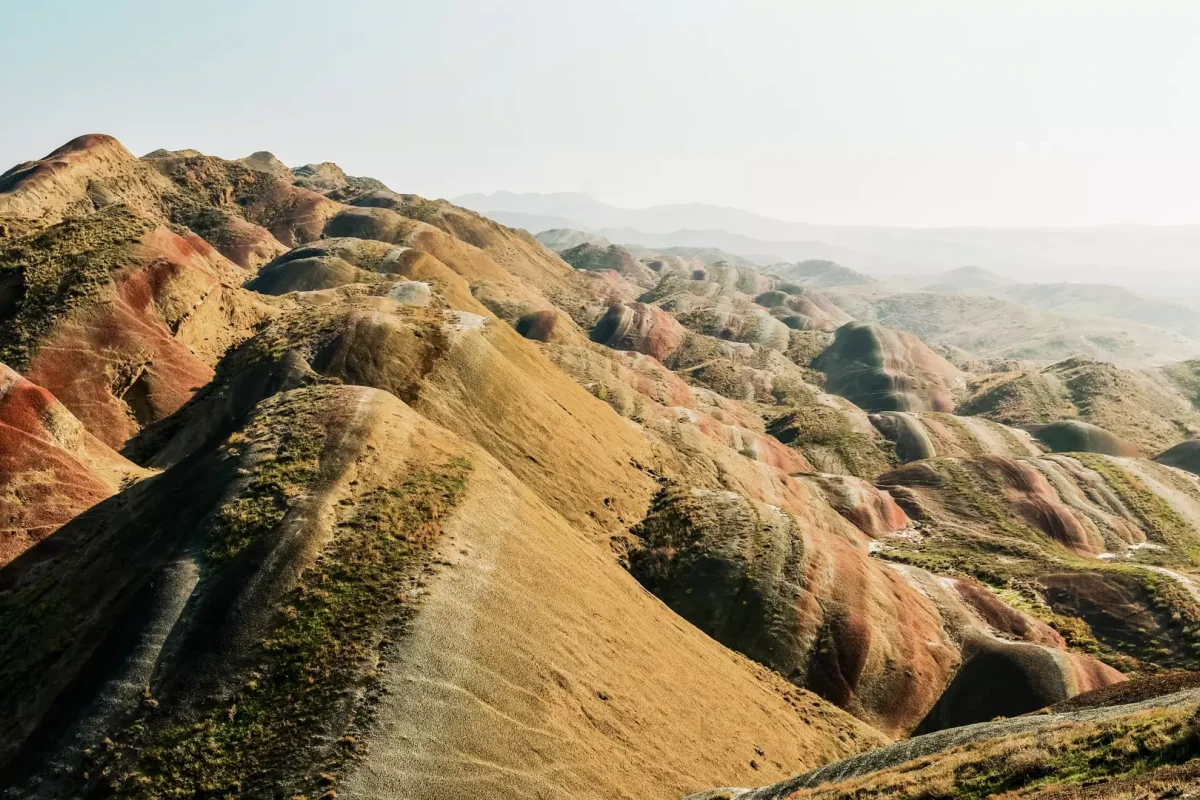
Today Sagarejo works as a route base: one axis leads toward David Gareja, another toward Gombori and forested uplands. Municipal descriptions and travel overviews also point to protected/natural areas such as Mariamjvari and other landscapes that strengthen the “town + nature” identity of the area.
FAQ
Q: Where is Sagarejo located?
A: On the south-western slopes of the Gombori Range, on the Tvaltkhevi River, about 58 km from Tbilisi.
Q: When did Sagarejo become a town?
A: Urban-type settlement in 1961; town status from 1962.
Q: Which major heritage sites are in the municipality?
A: David Gareja monastic complex and the Ninotsminda monastery complex, among others.
Sources
Encyclopedic & general overview
Wikipedia — Sagarejo
https://en.wikipedia.org/wiki/SagarejoGeorgia Travel (Official, KA page used for location/distance details) — Sagarejo
https://georgia.travel/ka/ქალაქები/საგარეჯო
Official local history
Sagarejo Municipality (KA) — History
https://sagarejo.gov.ge/ge/istoria
Regional landmarks / heritage
Wikipedia — Sagarejo Municipality (David Gareja, Ninotsminda, Mariamjvari)
https://en.wikipedia.org/wiki/Sagarejo_Municipality
Status timeline (1961–1962)
Wikipedia (RU) — Сагареджо
https://ru.wikipedia.org/wiki/Сагареджо