Mtskheta-Mtianeti — quick overview
Explore the regionHistory
Mtskheta-Mtianeti is one of Georgia’s most symbolic regions: it pairs the country’s ancient spiritual and political heartland with the dramatic highlands of the Greater Caucasus. In the south lies Mtskheta—Georgia’s former royal capital and a cornerstone of Georgian Christianity—while to the north rise alpine valleys, gorges, and passes that have long connected Georgia with the North Caucasus. Proximity to Tbilisi and the historic Georgian Military Highway made this region a natural crossroads for trade, diplomacy, and military movement across centuries.
Location and natural environment
The region’s geography is defined by sharp contrasts. Around the Mtkvari (Kura) and Aragvi river confluence the landscape is gentler—hills and river terraces—while the northern municipalities climb quickly into mountain terrain with changing climate zones: forested slopes, alpine meadows, narrow gorges, and high passes. This variety explains why visitors often combine cultural heritage in Mtskheta with mountain adventures around Gudauri and Kazbegi.
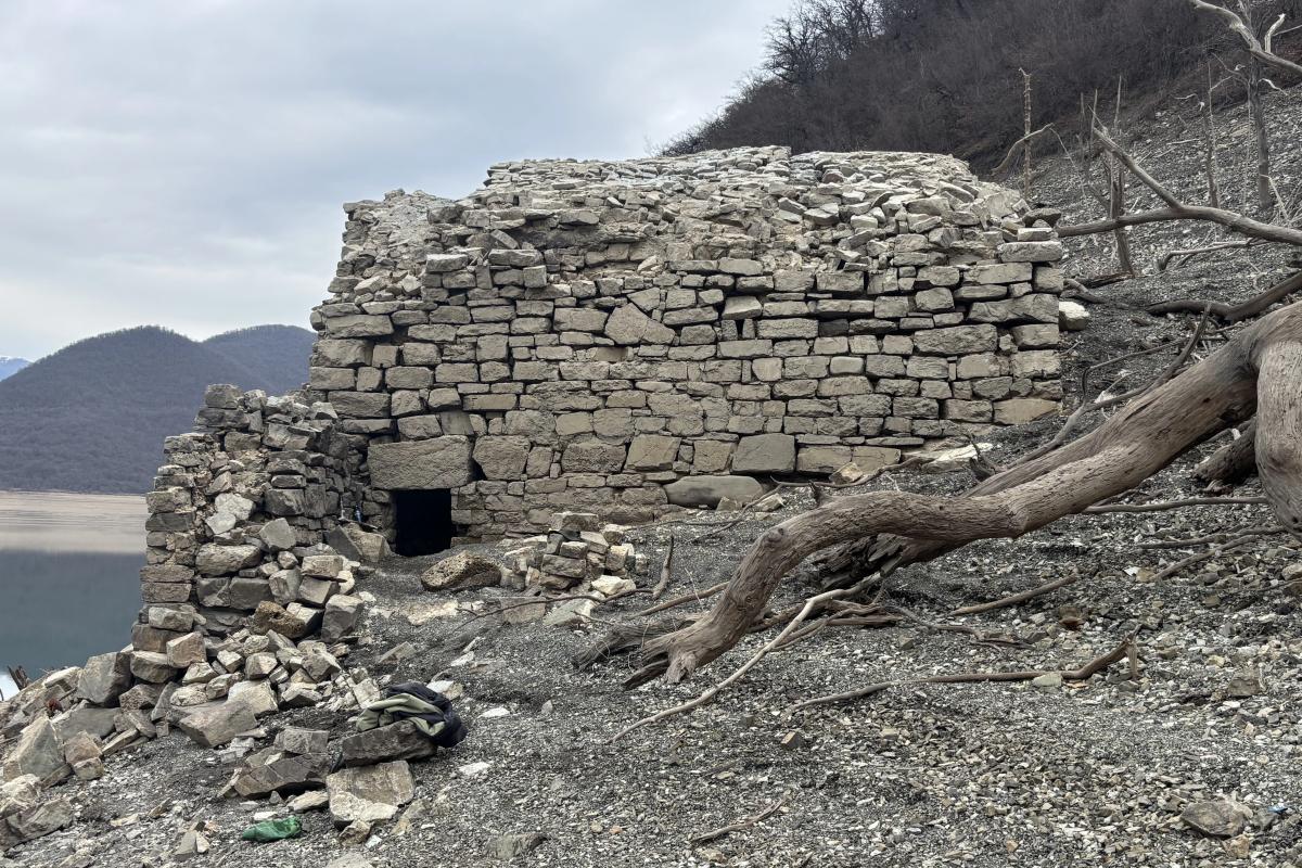
Ancient traces and archaeology
The wider Mtskheta area preserves deep layers of early Georgian statehood and settlement history, with archaeological zones and remains spanning long periods. Where details depend on specific excavations, the safest framing is cautious: evidence suggests long-term habitation and political importance around Mtskheta and adjacent river valleys.
The Middle Ages: Christianity, church architecture, and state formation
After the adoption of Christianity as a state religion (traditionally dated to the 4th century), Mtskheta became central to Georgian religious identity. The region’s best-known monuments are united under the UNESCO World Heritage property “Historical Monuments of Mtskheta,” which includes Jvari Monastery, Svetitskhoveli Cathedral, and Samtavro Monastery. UNESCO notes the property’s outstanding examples of medieval religious architecture and its continuity from the 4th to the 18th centuries.
In the highland part of the region, medieval life followed valleys and routes: fortifications and watchpoints guarded movement through gorges and passes, while mountain communities developed strong local traditions shaped by altitude, climate, and seasonal rhythms.
15th–18th centuries: strategic valleys and fortified ensembles
As Georgia’s political landscape shifted, the region’s passes and valleys gained strategic weight. The Aragvi valley and the corridor of the Georgian Military Highway remained vital, and several fortified sites were strengthened or rebuilt. The Ananuri fortified ensemble—located along the historic military road—appears on UNESCO’s Tentative List, highlighting its architectural and route-related significance.
19th century: administration and the age of roads
In the 19th century, modernization of routes and administrative changes reinforced Mtskheta-Mtianeti’s role as a transit region. The military road became the backbone of movement northward, while Mtskheta’s closeness to Tbilisi increased its integration into broader economic and urban networks.
20th century: Soviet period, resorts, and infrastructure
During the Soviet era, winter tourism and sports infrastructure expanded in areas such as Gudauri, alongside road and communications improvements. Meanwhile, rural and highland communities continued long-standing agricultural and pastoral practices adapted to mountain conditions.
Contemporary period: tourism, heritage, and “two worlds” in one region
Today, the region attracts two major travel styles: heritage-focused trips around UNESCO-listed Mtskheta and nature/adventure travel along the Greater Caucasus—Kazbegi/Stepantsminda, Gergeti Trinity, Dariali Gorge, and seasonal hiking and skiing around Gudauri. Official resources on protected areas and national parks help travelers plan routes and understand conservation priorities.
FAQ
Q: Where is Mtskheta-Mtianeti located?
A: It lies north of Tbilisi, stretching from the Mtskheta area into the Greater Caucasus highlands.
Q: What is the administrative center?
A: The administrative center is Mtskheta.
Q: What UNESCO site is here?
A: “Historical Monuments of Mtskheta” (Jvari, Svetitskhoveli, Samtavro).
Q: How do I reach Kazbegi/Stepantsminda?
A: The usual route follows the Georgian Military Highway via Zhinvali/Ananuri and Gudauri.
Q: Best season to visit?
A: Spring/autumn for culture; summer–early autumn for hiking; winter for skiing in Gudauri.
Q: How many days do I need?
A: 1 day for Mtskheta highlights; 2–3 days to include the Military Highway and Stepantsminda; longer for hikes.
Q: Is Ananuri important?
A: Yes—Ananuri is on UNESCO’s Tentative List and is closely tied to the historic road corridor.
Q: Where can I verify population figures?
A: Georgia’s National Statistics Office (GeoStat) publishes regional population tables.
Sources
Mtskheta-Mtianeti — places
Route idea
Start with cities or municipalities, pick 3–6 places, then add a few settlements from “Discover more” to plan your Mtskheta-Mtianeti visit.