Dusheti Municipality
Dusheti: Ananuri fortress, Pasanauri, the Aragvi valley and Khevsureti’s Shatili and Mutso. History, tips and route ideas.
Dusheti Municipality — overview
MunicipalityHistory
Dusheti Municipality is the largest municipality of the Mtskheta-Mtianeti region, covering about 2,980 km² of the southern slopes of the Greater Caucasus north of Tbilisi. Its administrative centre, the town of Dusheti, lies about 54 km north-east of the capital at roughly 900 m above sea level. The municipality is shaped by the Aragvi River: the White and Black Aragvi meet at Pasanauri, and the Pshavi Aragvi joins at the Zhinvali Reservoir. In the north it includes the highland region of Khevsureti, bordering Russia (Ingushetia and Chechnya); it also borders Kazbegi, Tianeti, Mtskheta, Kaspi and Akhmeta municipalities and the occupied Akhalgori district.
Dusheti is first recorded in 1215. In the 17th century it was the residence of the powerful Dukes of Aragvi, whose rule ended in the 1740s, and it received town status under Russian rule in 1801. The dukes’ most famous legacy is the fortress complex of Ananuri on the Aragvi, about 72 km from Tbilisi, with churches of the 17th century — including the Church of the Mother of God, built in 1689, with its rich stone carving. Ananuri has been on UNESCO’s Tentative List since 2007.
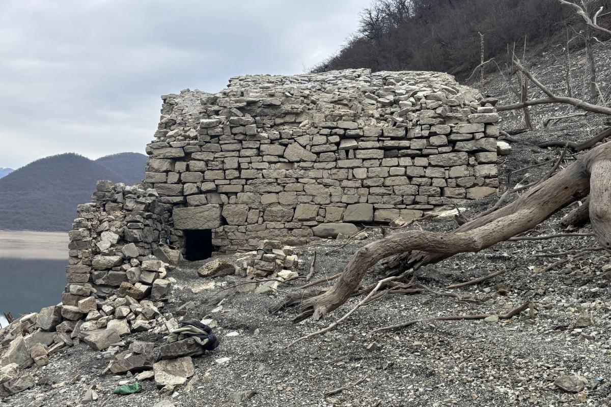
Further up the Aragvi valley, the old village of Pasanauri (about 1,050 m) on the Georgian Military Road is known for its mountain scenery and traditional cuisine. The Zhinvali Dam on the Aragvi forms a large reservoir that supplies drinking water to Tbilisi and makes a striking backdrop to Ananuri.
In the remote north lies Khevsureti, one of Georgia’s most distinctive highland regions. Shatili, at about 1,400 m near the Chechen border, is a fortified village with around 60 towers and stone dwellings, while Mutso, perched at 1,880 m with about 30 fortified houses and four towers, has been restored since 2004 and received the European Heritage / Europa Nostra Award in 2019. The Pshav-Khevsureti National Park, established in 2014, protects this wild landscape. The pioneer of Georgian photography, Alexander Roinashvili, was born in Dusheti.
For travellers, Dusheti offers both an easy day trip — Ananuri, Zhinvali and Pasanauri on the way to Kazbegi — and a true mountain adventure in summer, when the road over the Datvisjvari Pass opens to Khevsureti, Shatili and Mutso. Hikers can also explore the alpine Abudelauri lakes and the trails of the national park.
FAQ
1) Where is Dusheti Municipality located?
North of Tbilisi, on the southern slopes of the Greater Caucasus, in Mtskheta-Mtianeti.
2) What is the administrative centre?
The town of Dusheti, about 54 km north-east of Tbilisi.
3) How large is the municipality?
About 2,980 km² — the largest in the Mtskheta-Mtianeti region.
4) Is Ananuri in Dusheti Municipality?
Yes, the Ananuri fortress complex stands on the Aragvi in Dusheti Municipality.
5) When was the main church of Ananuri built?
The Church of the Mother of God was built in 1689.
6) Where do the White and Black Aragvi meet?
At Pasanauri.
7) Is Khevsureti part of Dusheti?
Yes, Khevsureti, with Shatili and Mutso, lies in Dusheti Municipality.
8) What is Mutso?
A fortified highland village at 1,880 m, restored since 2004 and awarded by Europa Nostra in 2019.
9) When was Pshav-Khevsureti National Park established?
In 2014.
10) Where can I find official municipal information?
On the municipality’s official website.